Signs a house is settling
Signs to watch: sloping floors, a door that no longer meets its frame, cracks leaving the corners of openings, and cracks that taper. HUD observes that settlement generally happens gradually, which leaves time to research the cause. A leaning wall or an active slope is the exception and calls for a prompt call.
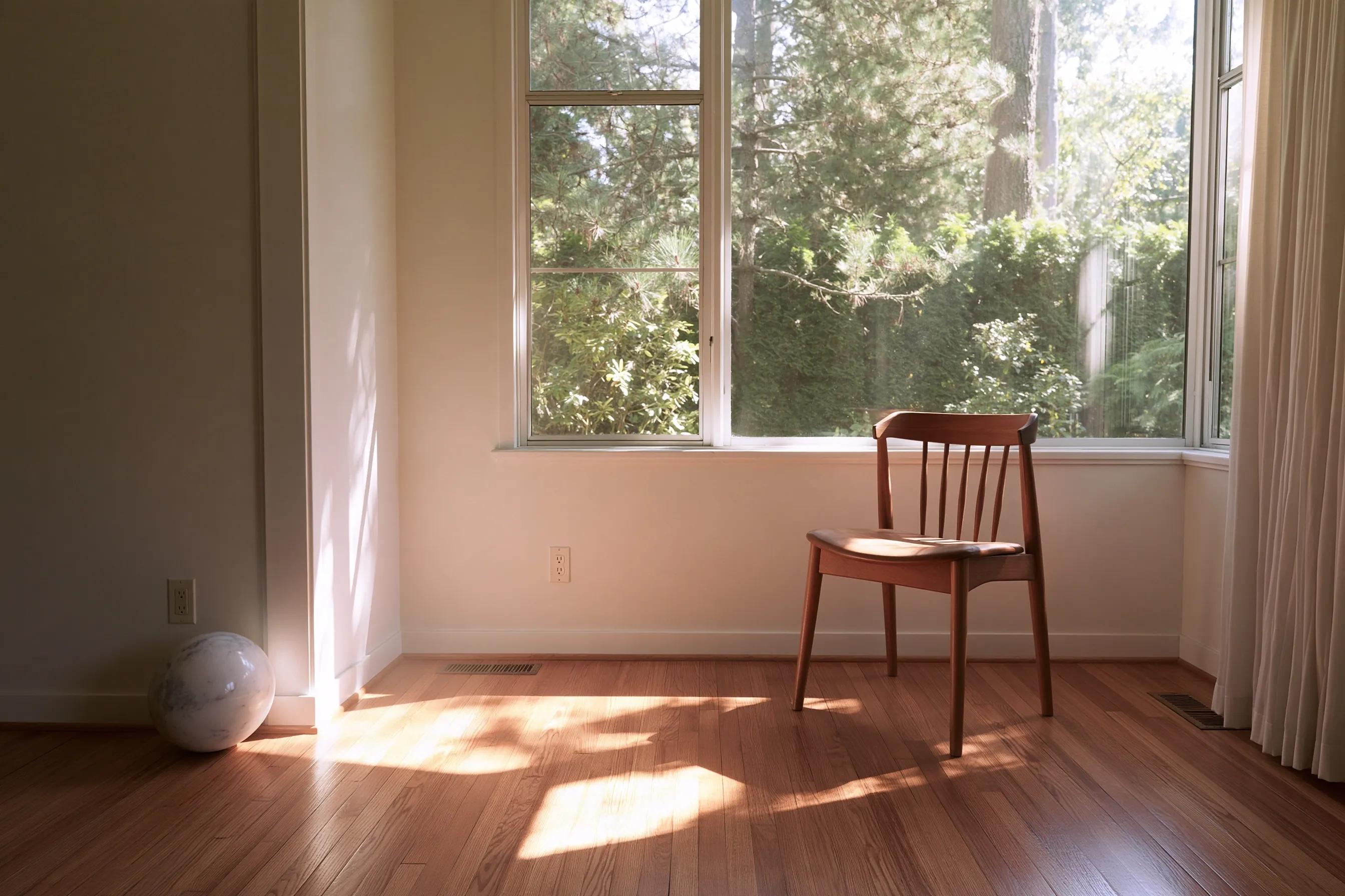
Before a visit, put a level or a marble on the floor in a few rooms and photograph where it goes. Measuring the same spots again a month later shows whether anything is moving.
Why houses settle in this region
HUD’s foundation guide groups the causes of foundation failure under five headings
- A problem site
- Poor soil conditions
- Seismic activity
- Water moving through the soil, or flooding
- Poor design, engineering or materials
Poor soil, in its examples, means peat and other organic soils, silty soils and fill that was not compacted in layers. Water adds to the problem: it can carry fines out from under a footing and weaken the soil.
Washington DNR’s Bulletin 78 says peat settles heavily under load and when it dries, and puts most of the state’s peat in the Puget Sound basin. A soils report, not a guess, says whether one lot has peat or fill.
What piers do not promise
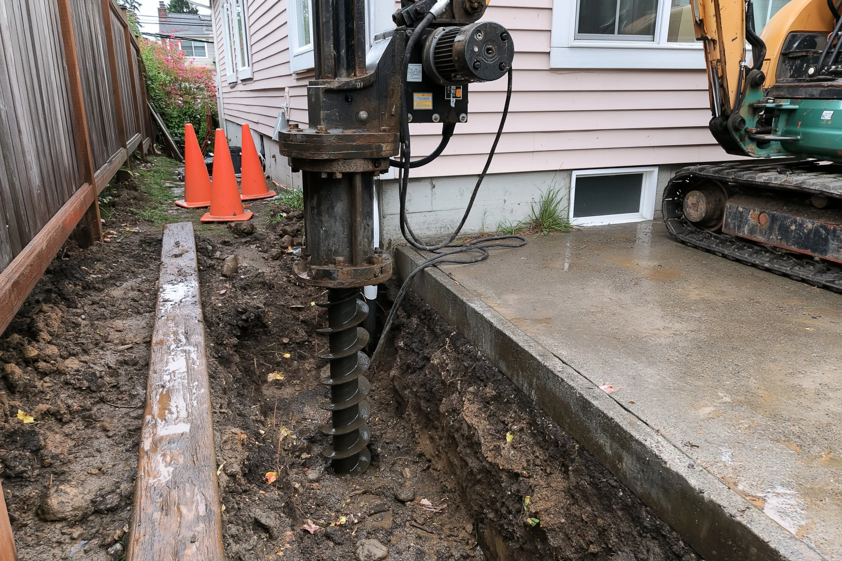
Piers are about transferring the load of the house to deeper soil. HUD notes that raising a settled foundation more than a few inches is difficult with augered concrete piers. We will not promise to bring a floor back to level.
A pier design depends on the soil under the footing, so the plan comes from what is found there. Where the cause is unclear, or the lot is a hazard area, a geotechnical engineer is asked first.
What changes the cost
Cost depends on how many piers the load calls for, how deep the bearing layer is, what has to be dug out to reach the footing and whether a deck, stairs or landscaping is in the way. An engineer’s design and a geotechnical report, if the city asks for one, are separate from the contractor’s work.
Kirkland hazard maps and soil studies
Kirkland’s zoning code covers erosion, landslide and seismic hazard areas, including those on the Landslide Susceptibility and Liquefaction Potential maps. The code treats the maps as guides and requires site-specific geologic studies before development or land surface modification is approved. It also allows the city to require a geotechnical investigation by a geotechnical engineer or engineering geologist licensed in Washington.
That is a critical-area rule, and the Development Services Center can say whether piering at your address needs a stamped design. Look at King County’s landslide map and the state DNR portal for your address first.
A crack with no sign of movement behind it belongs on foundation crack repair. Other kinds of work are summarized on the Kirkland Foundation Repair home page.